SHADIA 2017
Map Knitting with Balloon Aerial Photography
ICT4D
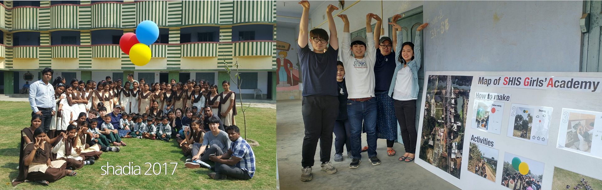
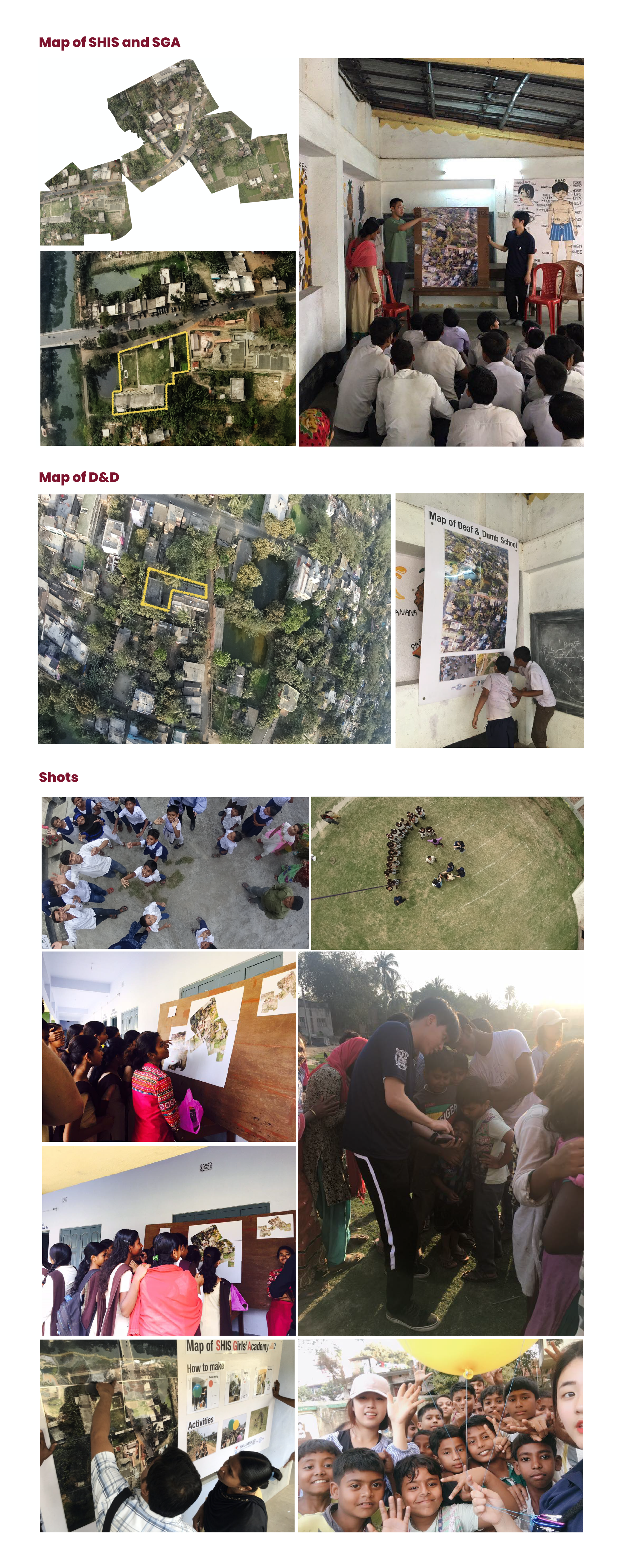
I joined SHADIA 2017 as an undergraduate design intern. The project explored how making maps could become a hands-on learning activity. We worked with students from SHIS, SGA, and D&D schools in Northern Kolkata, India, to create aerial maps of their neighborhoods and look at familiar places from different perspectives.
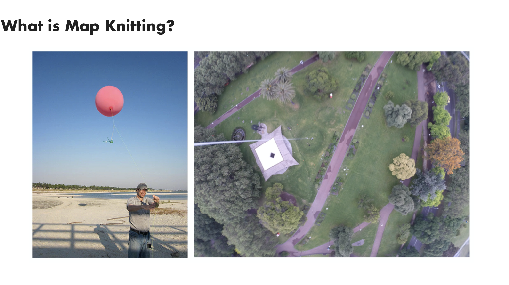
We used a technique called map knitting, which involves taking aerial photographs with cameras attached to balloons or kites and combining them into a larger map. Instead of using drones or existing satellite images, we wanted students to be involved in making the maps themselves. They carried balloons with small action cameras, took photographs, and pieced the images together to map their neighborhoods.

As students worked on their maps, they identified familiar places, including their homes, schools, and nearby streets, and shared stories about them. These activities sparked conversations about their neighborhoods and how they saw the places around them. The project was not just about making maps, but also about what we could learn through the process of making them.